Waymarking Salisbury Plain
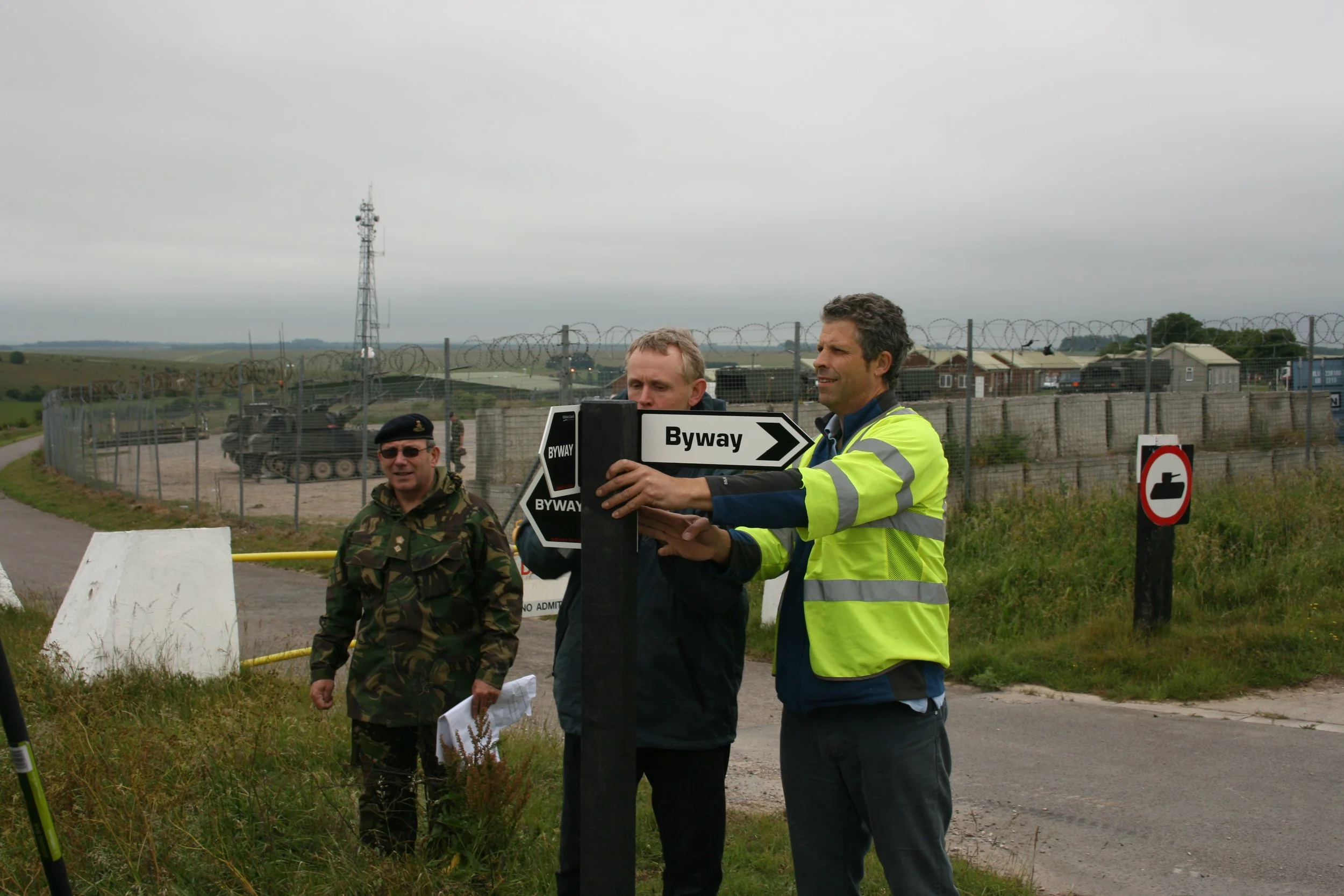
In May 2017, after seven years, we completed our ‘last’ signing day on Salisbury Plain, meaning that the Green Lane Association signing team had completely waymarked the whole of the area. Not just BOATs, but Restricted Byways, Bridleways and Footpaths also. To give you an idea of just how large the Plain is, we’re talking about the size of the isle of Wight. So no mean feat then!
Not only that, we gained a number of Permissive Byways for our efforts, along with some Byway dedications, courtesy of the landowner, the MOD. These small gains helped with connectivity of the network post NERC. For those that aren’t aware, the NERC Act was brought in, in 2006 and in a moment, all remaining RuPPs (Road use as a Public Paths), which were legal to drive before this point, became Restricted Byways and thus illegal to drive. That day we lost 50% of our green lanes courtesy of the antis. So in fact these small gains were pretty monumental for us. The last of which was given just before our final days waymarking which seemed a fitting present.
Perhaps some of the Ranger UK Club has explored some of them?
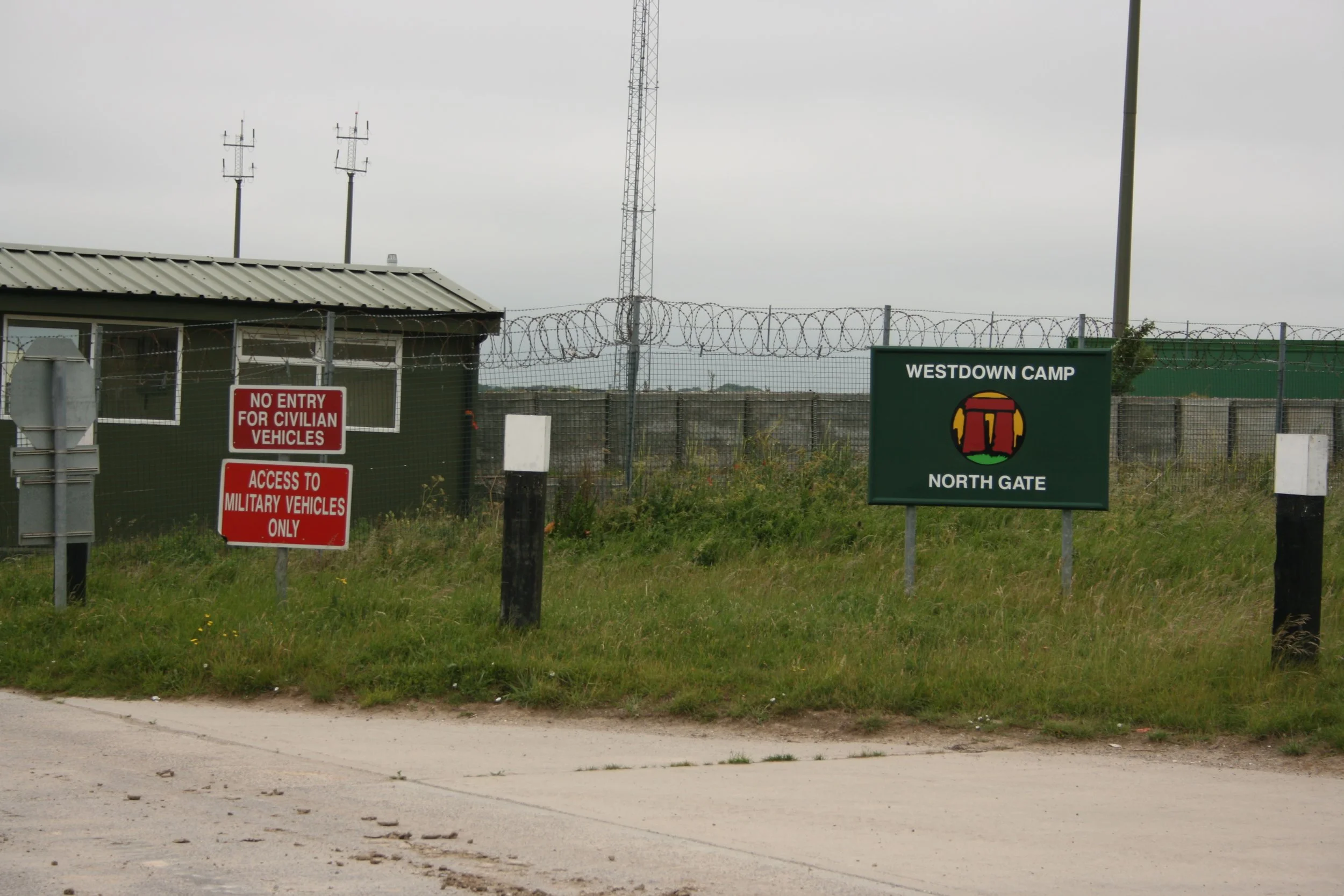
To give you a little back story, in the late noughties when I was the Green Lane Association Wiltshire rep, I was sitting on the Countryside Access Forum (CAF) as the vehicular representative. Also on the CAF was one Lt Col Nigel Linge, the representative from the MOD (which owns a fair chunk of Wiltshire). Nigel had offered to host one particular meeting at Westdown Camp (an MOD facility on the Plain) where he made a presentation to the Forum about a vision he had. He had named his vision Project UBIQUE. Ubique is Latin for ‘everywhere’. His project was simple… to waymark the whole of SPTA (Salisbury Plain Training Area) so that the military knew where the public were meant to be when training, and the public knew where they were supposed to be because the Plain was extremely poorly signed. Navigation was tricky at best, so it was easy to go wrong (remember, this was back before mapping software became popular). But what he needed was volunteers.
After the meeting I walked over to him and introduced myself and said I could get together a team of volunteers and provide vehicles and trailers. A deal was struck! We spoke to Wiltshire County Council to check they were onside and they happily agreed. The MOD allocated a budget for posts and signs and provided Derek, one of Wiltshire’s team members, to help out and deal with some of the technical aspects, like checking for underground cables.
We kicked off by doing presentations to all the local parishes on the Plain so they knew what was going on and to get their buy-in before our first ever waymarking day began on 15th June 2011.
Initially we began with a small Boxer track mounted auger that we had to haul round in a trailer. It proved to be very slow, so we asked the MOD if they could provide us with a tractor mounted auger. As they employed a company to look after MOD land, this wasn’t an issue, so for the rest of the project we continued this way. With a lot of flint in the ground, the auger’s safety bolt often broke, which was a pain in the ass sometimes, especially if the driver had run out of spares. We now use a hand held battery auger and this has proved to be the most successful one yet, especially seeing as it’s so portable.
Nigel did many presentations back to the CAF to keep everyone updated and gradually member’s perceptions about us ‘selfish off-roaders’ changed to ‘green laners that give back to the community’. We became accepted and equal. As British Telecom once said in an advert… “It’s good to talk”.
We had some unusual experiences as well.
SPTA is a live firing range and twice I experienced it at close hand. When the ranges are closed, red flags fly around the perimeter. One day we were working close to the German Village. This is a mock village created for training in the cold war and has been modified ever since for difference scenarios so solders can experience street fighting, etc. On this day there were two or three self propelled guns in the village and all of a sudden they fired. Everyone ducked except for Nigel. They were firing into the impact zone which meant they were firing right over the A360. That was a new one on me!
The second time was when we were given permission to sign just off the Central Range Road, right in the middle of the red flagged area. And the range was live and they were firing! You could hear the shells whistle as they flew over our heads before hearing a ‘crump’ in the distance. I was quite pleased when we finished that particular job!
During the project’s seven years, I saw almost every part of the Plain. I’ve been privileged to drive places you’d never normally get to without permission. The project even took me to Ministry of Defence headquarters in Whitehall, London, as unbeknownst to me, Nigel had put me up for a Sanctuary Award. A totally unexpected honour.
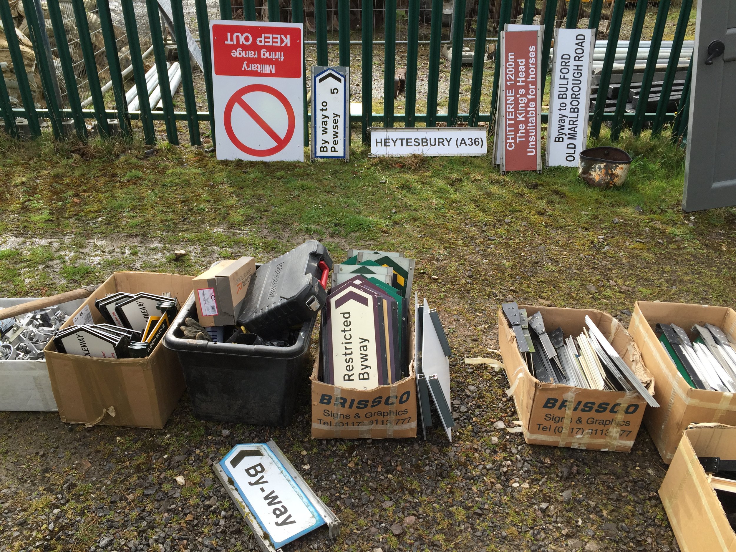
But even though the project is now completed, the team are still out there replacing faded and broken signs, and putting in new posts where old ones have been knocked or blown over. It’s a bit like painting the Fourth Road Bridge really… never ending. The team have even started signing off the Plain now. So if you see a few folk putting up some Byway signs in Wiltshire of a Saturday, then that might well be us!
I’d like to thank all the people that have helped the Green lane Association waymarking team: other 4x4 users, TRF members, Wiltshire Bridleways, BHS and everyone else involved. The project would not have happened without all those good people devoting their time, energy and fuel. And of course, Derek, who represented Wiltshire County Council with the most amazingly positive and cheerful attitude.
Most of all, I’d like to thank Lt Col Nigel Linge, with whom I’ve become good friends. He has since retired from the MOD and carries on in a voluntary capacity. Without his drive and energy, the project would never had happened.


